
Thermal Mapping Reveals Wildfire Encroachment Across Western Europe
Recent satellite imagery confirms that intense wildfires are encroaching on populated regions throughout Western Europe. High-resolution data demonstrates a direct threat to local infrastructure as blazes accelerate through the summer months.
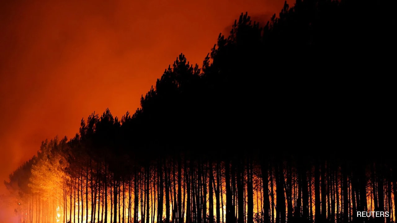
Data Analysis of Active Burn Zones
As summer temperatures peak, a series of aggressive wildfires has taken hold across the Western European corridor. Advanced satellite technology and thermal mapping now provide a granular look at the geographic reach of these blazes. The current data illustrates a concerning proximity between active fire fronts and residential centers, displacing thousands and straining regional emergency response systems.
Urban-Wildland Interface Risks
Detailed imagery highlights several critical points of concern for civil authorities across the continent:
- Proximity to Infrastructure: Recent maps show fire lines within kilometers of major transportation hubs and electrical grids.
- Spread Patterns: Satellite sequences indicate that dry vegetation is fueling rapid expansion, often outpacing manual containment efforts.
- Community Displacement: Visual evidence confirms the evacuation of multiple towns as smoke plumes alter air quality across several borders.
Meteorological conditions continue to dictate the movement of these fires. Analysts monitor wind shifts and moisture levels to predict where the next high-risk zone may emerge. The visual evidence gathered via remote sensing offers a stark perspective on the scale of timber loss and the ongoing damage to the regional ecosystem.
Source: NDTV — Top Stories

