
Gujarat Forecast: Rainfall Set to Increase Across Specific Districts from August 8
Weather officials anticipate a rise in precipitation levels for North, East, and South Gujarat starting this week. While light to medium rainfall will expand to new areas, the state lacks the major systems required for a widespread heavy downpour.
Key takeaways
- Rainfall intensity will increase in North, East, and South Gujarat starting August 8 for a three-day period.
- Major storm systems are absent, meaning no heavy or universal rainfall is expected across the state before August 15.
- Saurashtra and Kutch continue to face significant rain deficits, with Jamnagar and Kutch reporting gaps of over 40%.
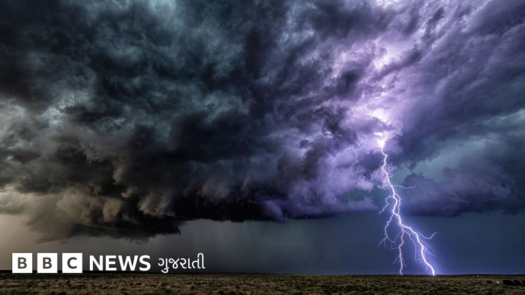
Regional Rainfall Expansion Expected
Gujarat is poised for a shift in weather patterns beginning August 8, as the meteorological department forecasts a localized increase in rain activity. This upcoming phase, lasting until August 10, is expected to cover a broader geographical area compared to recent days. However, experts clarify that this does not signal a major storm system; instead, residents should anticipate light to moderate showers rather than extreme weather events.
Atmospheric Drivers and Geographical Impact
The current weather shifts are influenced by a cyclonic circulation near Uttar Pradesh, which is projected to move toward Rajasthan. Despite this movement, the primary triggers for torrential rain in Gujarat—major systems from the Bay of Bengal or Central India—are currently absent. As a result, extensive or universal heavy rainfall is unlikely before August 15. The forecast suggests that North, East, and South Gujarat will see the most significant increase in activity, while conditions in Saurashtra and Kutch are expected to remain largely unchanged.
Why It Matters
For the agricultural sector, the timing of these rains is critical. Although state-wide rainfall from June 1 to August 6 sits at 13% above the historical average, the distribution remains highly uneven. Farmers in regions where sowing is pending face potential distress as significant rain rounds appear unlikely for the next ten days. A weak monsoon phase could impact crop yields in these vulnerable zones.
Key Facts
- Light to moderate rain will target Banaskantha, Sabarkantha, Aravalli, Mahisagar, Dahod, and Panchmahal from August 8 to 10.
- Southern districts including Valsad, Navsari, Surat, and Dang are expected to transition from isolated showers to more frequent moderate rain.
- Saurashtra and Kutch report a 13% deficit compared to normal seasonal levels as of early August.
- Specific district deficits include Kutch at 41%, Jamnagar at 46%, and Porbandar at 66%, while Devbhoomi Dwarka shows an 84% gap.
- Central areas like Ahmedabad, Gandhinagar, and Kheda will likely experience a minor uptick in shower frequency during this three-day window.
Background
Gujarat typically records its highest precipitation levels during July and August. Currently, the monsoon trough is shifting toward the Himalayan foothills, a move that generally reduces the likelihood of intense rainfall cycles in the western states. While 13 districts currently report below-average totals, the lack of emerging systems in the Bay of Bengal suggests that the state will rely on localized moisture rather than massive monsoon depressions for the immediate future.
Source: BBC
Related stories

Kerala Weather Warning: Four Northern Districts Face Red Alert Amid Surge in Rainfall

North Andhra Pradesh Showers Fail to Offset Major Seasonal Rainfall Deficit
