
Earth's True Shape Revealed: More Potato Than Sphere, Scientists Say
Earth deviates from a perfect sphere, resembling a potato due to variations in gravity caused by surface features and internal density. Scientific missions like ESA's GOCE have mapped these gravitational anomalies to define the planet's geoid shape.
Key takeaways
- Earth deviates from a perfect spherical shape, resembling a potato due to gravitational variations.
- The planet's rotation causes an equatorial bulge, and surface features create irregular gravity.
- The geoid, an exaggerated model of Earth's gravity-influenced surface, shows height differences of up to 200 meters.
- Missions like ESA's GOCE have been instrumental in mapping Earth's gravity field and defining its geoid shape.
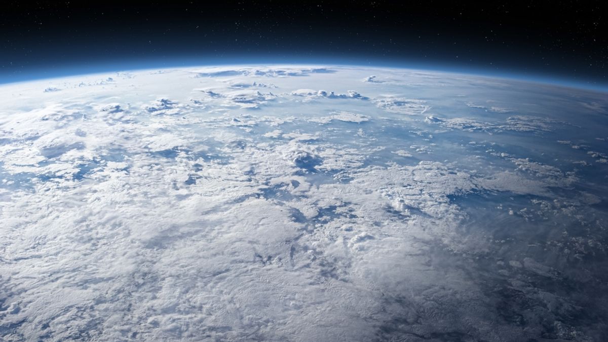
Contrary to common depictions, Earth's actual shape is not a perfect sphere but rather a geoid, often described as potato-like. This understanding comes from data collected by missions focused on mapping the planet's gravity field.
What Happened
Scientists have determined that Earth is not a perfect sphere. This conclusion is based on data from space missions, including the European Space Agency's GOCE (Gravity Field and Steady-State Ocean Circulation Explorer) and NASA missions. These missions have provided a detailed picture of Earth's gravity and its resulting shape.
Why It Matters
The planet's shape is more complex than a simple sphere due to its rotation, which causes a bulge at the equator. Additionally, surface features like mountains and valleys, and variations in density beneath the surface, create gravitational differences. Where the planet is denser, gravity is stronger, influencing the hypothetical level of a tideless ocean. This irregular gravitational field shapes the planet's true form, known as the geoid.
Background
The geoid represents the planet's shape by extending the hypothetical smooth surface of the oceans across the entire globe, accounting for gravitational variations. This model is significantly exaggerated in visualizations; the actual difference between the highest and lowest points of the geoid is approximately 656 feet (200 meters). The highest point is near Iceland, and the lowest is in the Indian Ocean.
A region of notably weak gravity, roughly the size of India, is located in the Indian Ocean. Researchers hypothesize that the formation and arrangement of structures deep within Earth's mantle contribute to this anomaly, though its precise origin remains unclear.
Key Facts
- Earth's shape is more akin to a potato than a perfect sphere.
- The European Space Agency's GOCE mission mapped Earth's gravity to help define its shape.
- Earth has a bulge at the equator due to its rotation.
- Differences in surface mass, such as mountains and valleys, affect local gravity.
- The geoid is a scientific model representing Earth's irregular shape based on gravity.
- The difference between the highest and lowest points of the geoid is about 656 feet (200 meters).
- The lowest gravitational point is in the Indian Ocean.
- The GOCO06s model, derived from the GOCO project, uses data from 19 satellites and over a billion observations.
Sources reviewed
Project Chintan independently synthesized and analyzed information cross-checked across the sources listed above.
Related stories

Nasa Jet to Chase Solar Eclipse, Studying Sun's Corona
Physicists Debunk 'Project Anchor' Gravity Hoax: Earth's Mass Cannot Be Turned Off

NASA Formally Invites ISRO to Join Lunar South Pole Base Project
